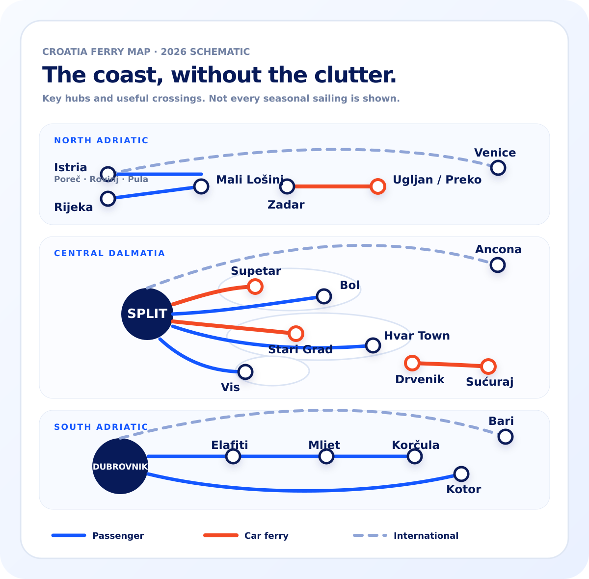
Use a vehicle ferry.
For Hvar, Brač and Ugljan, the port matters as much as the island.
Current route reference
A clear reference for the ferry hubs that matter: passenger routes, car ferries, island connections and selected Adriatic links.
Browse every route
Use this as a route map, not a timetable. Schedules and seasonal services can change. Open the individual crossing before you book.
Choose by trip type
For Hvar, Brač and Ugljan, the port matters as much as the island.
Fast passenger ferries connect the main island towns without the car-ferry detour.
Supetar is the main vehicle gateway. Bol puts foot passengers near Zlatni Rat. Milna serves western Brač.
Selected seasonal and overnight crossings connect Croatia with Italian ports.
Key hubs
Quick answers
Major car-ferry crossings include Split → Supetar on Brač, Split → Stari Grad on Hvar, Drvenik → Sućuraj on Hvar, and Zadar → Preko/Ugljan. Vehicle capacity and schedules vary, so check the crossing for your travel date.
No. Several operators serve Croatia and many routes are seasonal. The map is a route reference; the individual FerryCroatia crossing page is where you check the practical details and current ticket path.
No. It focuses on the useful hubs and crossings that help travellers understand the coast. The All Routes directory contains the wider network.